This is the 6th hike on a 3+ week trip to Idaho. After camping other places, we spent 3 days in the Edna Creek Campground.
The Drive In
For this, our 2nd hike out of Edna Creek, we drove 6 miles north on Idaho 21 (Ponderosa Pine Scenic Route) towards Lowman, to the Beaver Creek Summit., parked on the west side of the road, and proceeded up the two-track on FR 394 then onto FR 551C.
The Hike
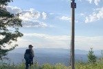
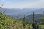
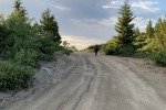
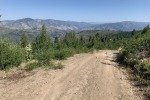
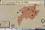
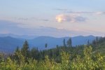
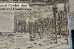
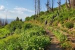
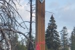
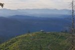
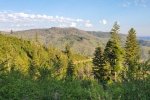
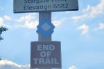
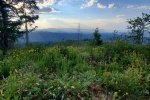
It was summer, it was hot; we wanted a trail at a higher elevation, hopefully cooler. So we headed uphill to the Beaver Creek Summit, to hike the Stargaze Point Trail. The “trail” is a well used two-track (“Jeep Trail” on the topo) that proceeds along a ridge, climbing steadily until reaching Stargaze Point, some 500 feet in 1.5 miles. Signs and blazes along the way made it clear  this trail is popular in winter, for snowshoeing or maybe cross country skiing. The area is scrub forest due to the Lowman Fire in 1983. But the openness provided great views of the surrounding mountain ranges and valleys, despite the smoke/haze that was prevalent throughout our stay at Edna Creek.
 At about 1.2 miles into the hike, we noticed a yurt, on a promontory below the ridge with a great view across the valley of the West Fork Beaver Creek and the ridges of the Boise Mountains to the south. (Later research revealed that this is the Stargaze Yurt, available for rent from the Idaho State Parks & Recreation.)
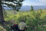
We continued down the two-track, taking a diversion to the right to climb up on Stargaze Point, the highest point around. Having only hiked 1.5 miles at this point, and curious about what lay further on, we returned to the two-track and hiked to what seemed to be the end of this ridge, with a view down into Rock Creek. Now at about 2.5 miles, we headed back up the tw0-track and took the diversion back up on Stargaze Point for our lunch, then back to parking.
Highlight
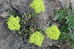
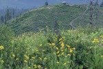
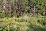
As on so many hikes in Idaho, the array of flowers continued to amaze us. ‘Tho not as lush as on the trails around Stanley, nonetheless they made the hike more interestng.
Statistics
Total Distance: 5.02 miles
Elevation: start 6,048 ft, maximum 6,679 ft, minimum 6,048 ft
Gross gain: 631 ft. Aggregate ascending 1,165 ft, descending 1,164 ft
Maximum slope: 26% ascending, 27% descending, 8.1% average
Duration: 4:14
| GPS Track Files for Download | |
52 Downloads |
|
|---|---|
37 Downloads |
|
If you haven’t explored these hiking tracks with Google Earth, I urge you to try it. With the virtual 3-dimensional presentation, achieved by panning and tilting the view, you can get a much better idea of the hikes and terrain than you can get from the screenshot above. For some ideas, check out Using Google Earth Track Files.
Related Posts
References and Resources
AllTrails: Stargaze Point Trail via Beaver Creek Summit
Rocky Mountain Summits: Hike to Stargaze Point
It Started Outdoors: Snowshoe Stargaze Trail in Idaho City
Idaho State Parks & Recreation: Stargaze Backcountry Yurt


